A frontal system is expected to move into southeast Texas, bringing rain and thunderstorms to the Houston area over the coming days. The front is not forecast to lower temperatures and is expected to stall near the region, resulting in periods of rain and possible thunderstorms.
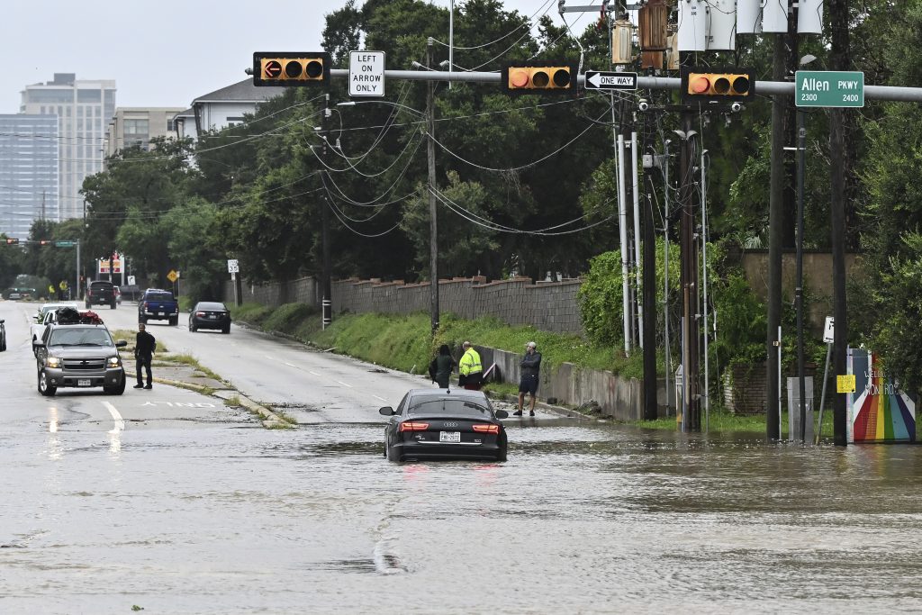
On Friday, morning temperatures will be in the low 80s with mostly clear skies. Scattered thunderstorms are forecast to develop in the afternoon, with the highest chance between 1 p.m. and 6 p.m. Some storms may produce heavy rainfall, leading to localized street flooding.
The front is expected to remain near the coast through the weekend, allowing moisture from the Gulf of Mexico to increase rain chances on Saturday and Sunday. Rain is not expected to be continuous, but may affect outdoor plans at times.
No tropical development is expected in the Gulf over the next seven days. However, the region is entering a statistically active part of the hurricane season. Meteorologists recommend reviewing hurricane preparedness plans.
The stalled front across the I-10 corridor may result in intermittent heavy rainfall over the weekend. Residents are advised to monitor weather updates and local alerts.
KPRC 2 encourages residents to share weather-related photos and videos through Click2Pins.


